As someone who’s spent years in general aviation and watched experienced pilots make decisions that would make a student nervous, I’ve learned everything there is to know about what actually matters before any flight. Today, I’ll share it all with you.
Aviation weather is not a topic you study once and file away. It’s a discipline that keeps punishing pilots who get complacent about it. The issue isn’t usually that pilots don’t understand the weather — it’s that they stop respecting how quickly conditions can deviate from a forecast. What follows is what every pilot needs to know, from a local pattern hop to a cross-country IFR trip.
The Briefing Process: Don’t Skip Steps
Every preflight weather briefing should start with the same foundation: the area forecast (FA), the winds aloft forecast (FB), and METARs and TAFs for your departure, destination, and alternates. If you’re filing IFR, you also need AIRMETs and SIGMETs for your route and altitude. Pilots who skip to “just check the radar app” are missing critical context that only the structured briefing products provide.
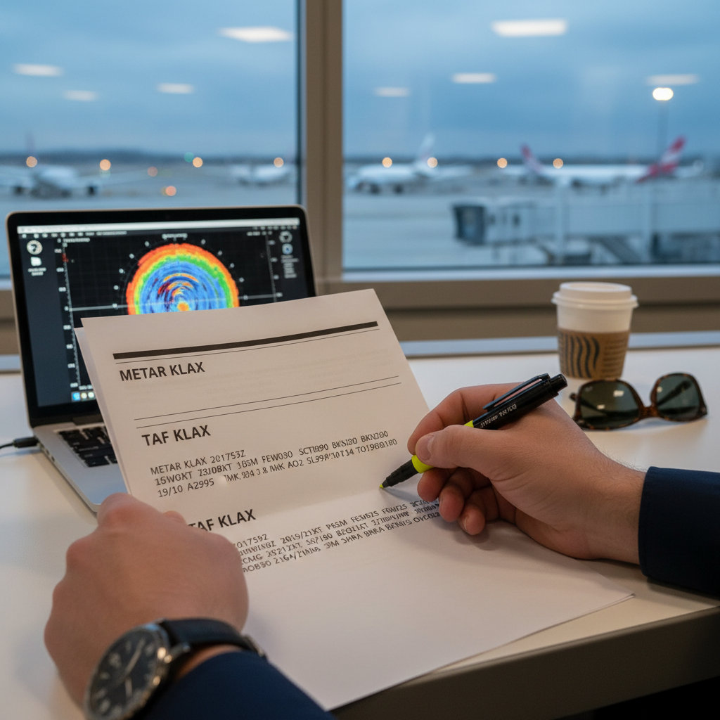
Use 1800wxbrief.com or the Leidos Flight Service through ForeFlight or similar EFB for official briefings. If an incident occurs, you want a record that you received a briefing. The app on your phone doesn’t create that record.
The Area Forecast covers a large geographic region and describes conditions in plain language over a 12-18 hour period — the big picture. METARs give you actual conditions at specific airports at specific times. TAFs give you terminal forecasts for 24 hours. The disconnect between what the FA says is happening broadly and what a specific METAR shows at your destination is often where the interesting decisions live.
Understanding AIRMETs and SIGMETs
AIRMETs (Airmen’s Meteorological Information) cover significant meteorological conditions for light aircraft: Sierra covers IFR conditions and mountain obscuration. Tango covers turbulence and low-level wind shear. Zulu covers icing. AIRMETs are advisory — they inform your decision-making, they don’t necessarily prohibit flight.
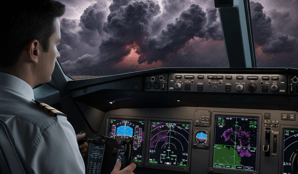
SIGMETs are more serious. They cover hazards significant to all aircraft: severe icing, severe turbulence, volcanic ash, and tropical cyclones. A Convective SIGMET is issued for severe thunderstorm activity — lines of thunderstorms, embedded thunderstorms, or severe isolated storms. No schedule is worth penetrating a convective SIGMET. I’m apparently one of those pilots who treats this as non-negotiable, and I’ve never regretted it.
Thunderstorm Decision-Making
The standard guidance is 20 miles lateral separation from active thunderstorms. That’s a minimum, not a target. Hail can be ejected from the tops and anvils of mature thunderstorm cells well beyond the visible precipitation area. Turbulence associated with convection can extend 10-20 miles from the storm core at altitude.
Frustrated by the “thinnest gap” temptation during cross-country flights, I developed a simple rule: if I need to thread a gap, the answer is no. On-board weather radar, if you have it, shows precipitation intensity — not turbulence. XM Weather and ADS-B weather in the cockpit typically have 5-10 minute latency. Use it for strategic awareness, not tactical penetration decisions.
Icing: The Silent Killer
Structural icing is among the most lethal meteorological hazards facing general aviation pilots. Ice accumulation on wings alters the airfoil shape, increases weight, disrupts airflow, and can increase stall speed dramatically while simultaneously making the aircraft feel heavier and more sluggish to respond. FIKI certification does not mean unlimited capability — FIKI aircraft can be overwhelmed in severe icing conditions.

The most dangerous icing occurs in the 0°C to -10°C range, where supercooled large droplets are most common. When visible moisture and temperatures between +2°C and -20°C coincide, icing is possible. The key forecast products: Freezing Level Graphics, the Icing AIRMET (Sierra), and the Graphical Turbulence and Icing products from the Aviation Weather Center.
Winds and Density Altitude
Winds aloft affect fuel burn, true airspeed, and flight time. They also create turbulence — both in mountain wave conditions and clear-air turbulence at jet stream altitudes. Strong winds at altitude often indicate shear layers where turbulence occurs even in otherwise clear skies.
Density altitude is a factor every pilot should calculate on warm days or at high-elevation airports. An aircraft that performs normally at sea level may require significantly longer takeoff rolls at a mountain airport on a hot afternoon. Calculate density altitude, check your aircraft’s performance charts, and leave adequate margin. This is basic, but it still bites pilots who skip it.
The Discipline of Go/No-Go
Every pilot should develop a personal minimums document — written, not just memorized — that specifies the conditions under which they will not fly. A pilot who flew three IFR approaches in the last 90 days and is current on paper may not be proficient for an actual IFR approach in a 300-foot ceiling with rain and gusty crosswinds.
Aviation weather is the discipline that separates pilots who have long careers from those who don’t. Get the briefing, understand the products, develop your personal minimums, and treat the go/no-go decision as the most important aeronautical decision you make. The airplane will wait for better weather. The weather doesn’t care about your schedule.


Stay in the loop
Get the latest flighttechtrends updates delivered to your inbox.